
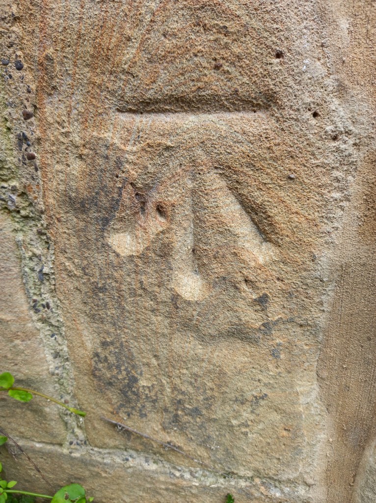
Centre which was
former bar.
This is a Benchmark used in the 1800s
to mark the height of land above the
mean sea level. This level, known as
the ODN or Ordnance Datum Newlyn, was determined by the sea level at Newlyn in Cornwall. The straight line or bench was used to rest the stave
from which measurements were
taken and maps could be created.
500,000 benchmarks were made
across the county but not all survive
as buildings were demolished or
roads built. They were replaced by
trig points and then GPS for moreaccurate measurements.
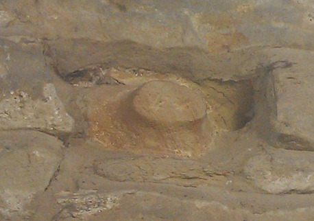
Visitors Centre,
inside building.
Pig snout
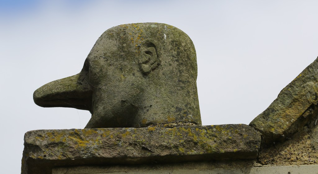
Visitors Centre at
roofline
Reputed to be likeness of the farmer
who had a large nose, but possibly
not this large.
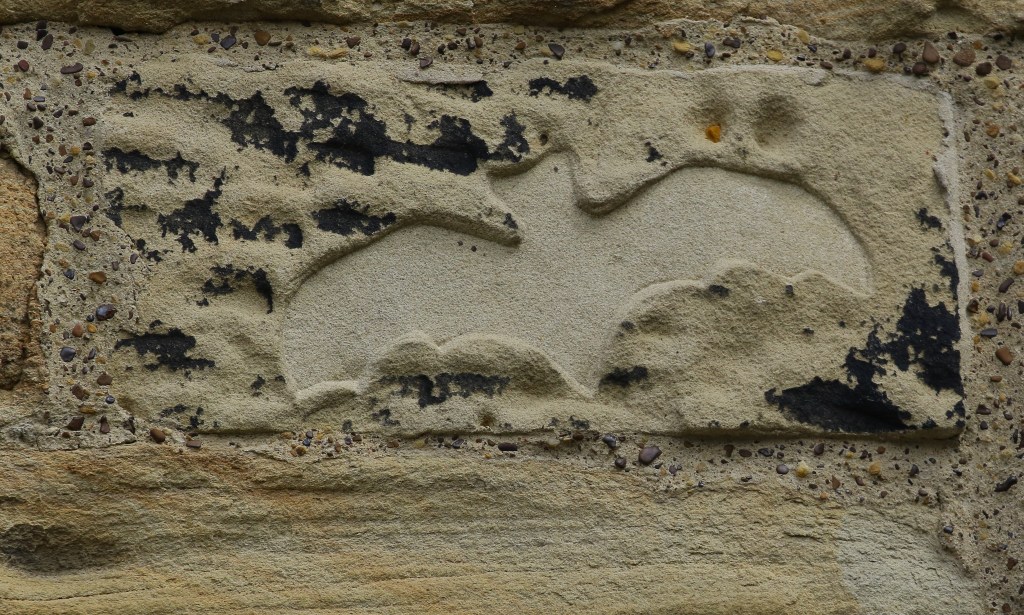
wall of Visitors
Centre, courtyard
side.
Silhouette carving of a bat – one of
three.
 Old Moor Farm